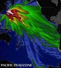
File:US-NRC-Japan-Fallout-Map-From-Destroyed-Fukushima-Daiichi-Nuclear-Plant - Version 2.jpg
From Nordan Symposia
Jump to navigationJump to searchUS-NRC-Japan-Fallout-Map-From-Destroyed-Fukushima-Daiichi-Nuclear-Plant_-_Version_2.jpg (215 × 239 pixels, file size: 25 KB, MIME type: image/jpeg)
File history
Click on a date/time to view the file as it appeared at that time.
| Date/Time | Thumbnail | Dimensions | User | Comment | |
|---|---|---|---|---|---|
| current | 20:28, 19 June 2013 |  | 215 × 239 (25 KB) | Rdavis (talk | contribs) | http://mrscottyl.blogspot.com/2012/02/fukushima-radiation-detected-400-miles.html |
You cannot overwrite this file.
File usage
The following page uses this file: